Photo and map credits
The photographs of African waters on this site come from photographers on Unsplash. The interactive map uses OpenStreetMap data. Thank you to everyone whose work makes these pages possible.
African waters, by their photographers
These photographs are used under the Unsplash License. Places are as the photographer tagged them. The photographs show the waters only. They are not records of swims, and their use does not suggest that anyone pictured endorses AMSA. The other swimming photographs on this site were supplied by AMSA’s founder.
-
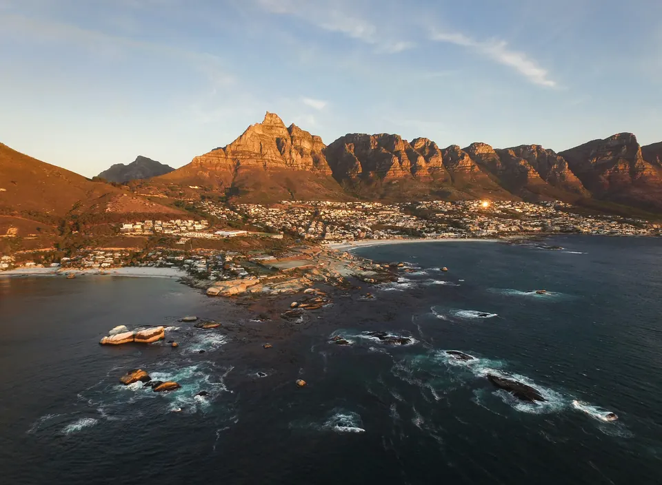 Clifton, Cape Town Photo by Dan Grinwis (Finding Dan) on Unsplash
-
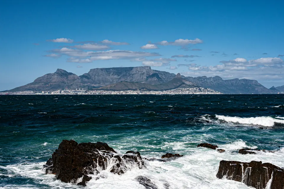 Robben Island, Table Bay Photo by katsuma tanaka on Unsplash
-
-
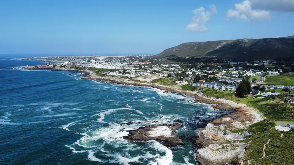
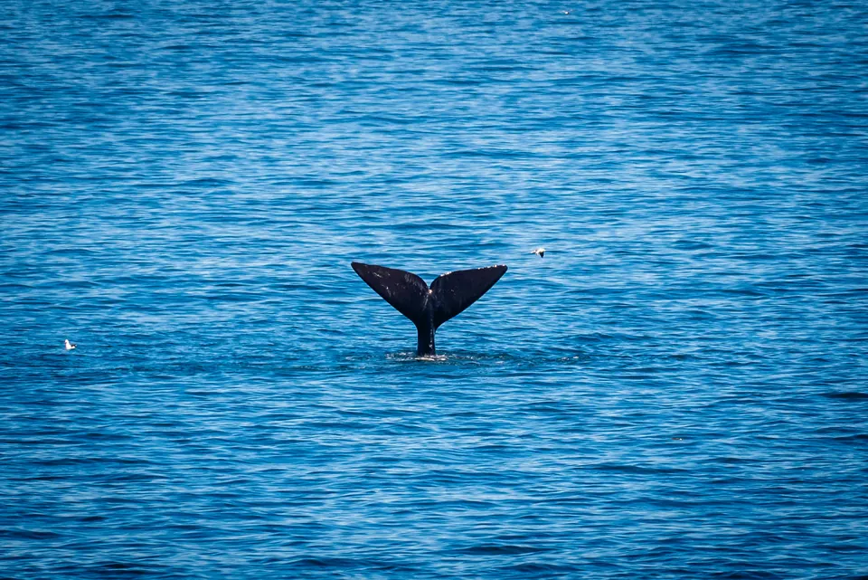 Hermanus, Walker Bay Photo by Matthias Wesselmann on Unsplash
-
 North Beach, Durban Photo by Weyland Swart on Unsplash
-
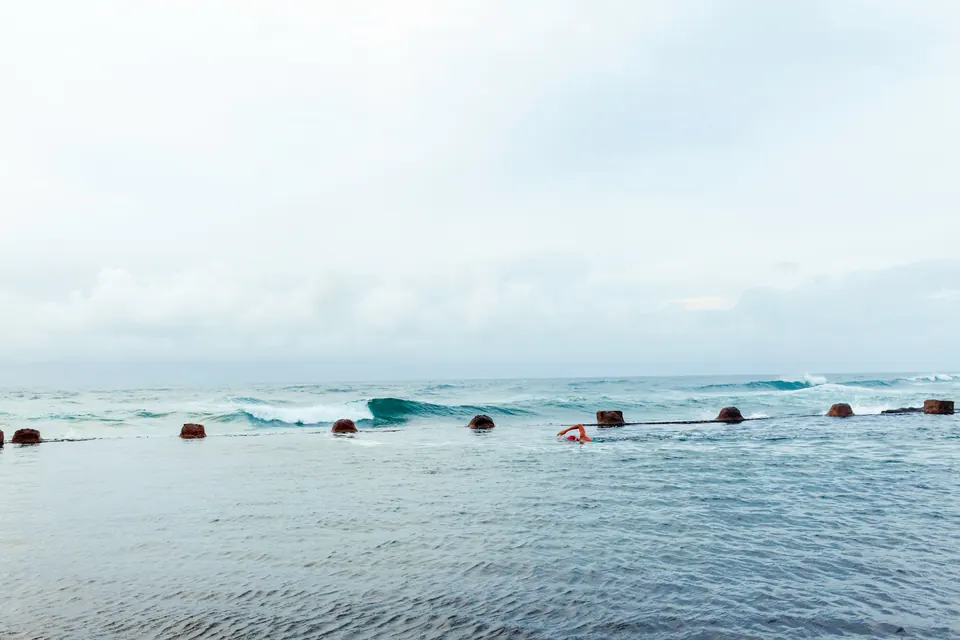 Durban Photo by Rowen Smith on Unsplash
-
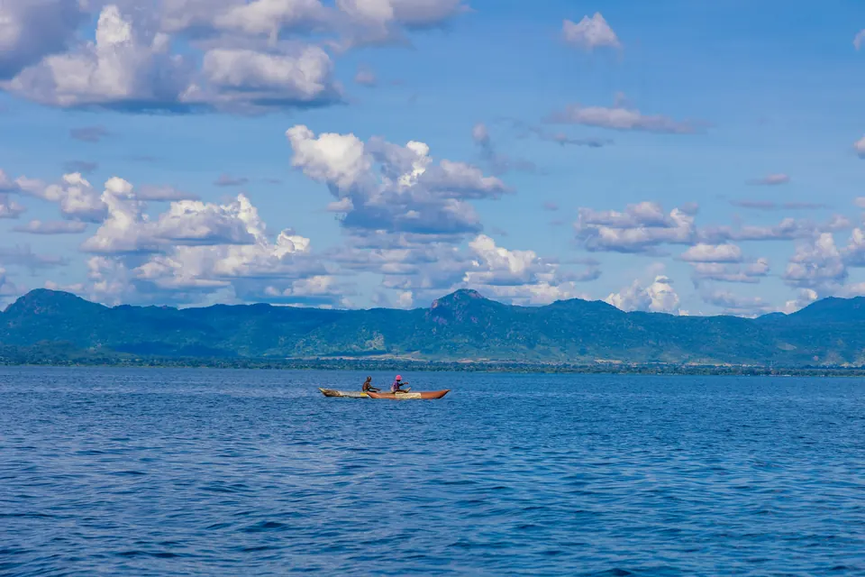 Lake Malawi Photo by Omar Hakeem on Unsplash
-
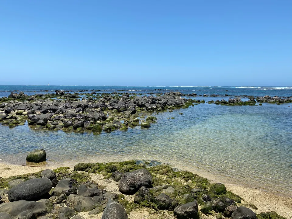 Dakar, Senegal Photo by Djibril Diallo on Unsplash
-
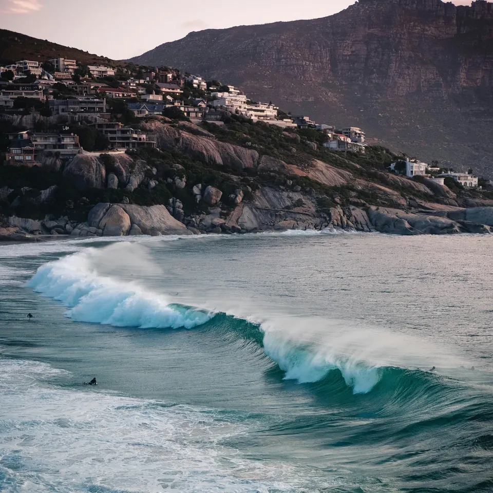 Cape Town Photo by Gregoire Jeanneau on Unsplash
-
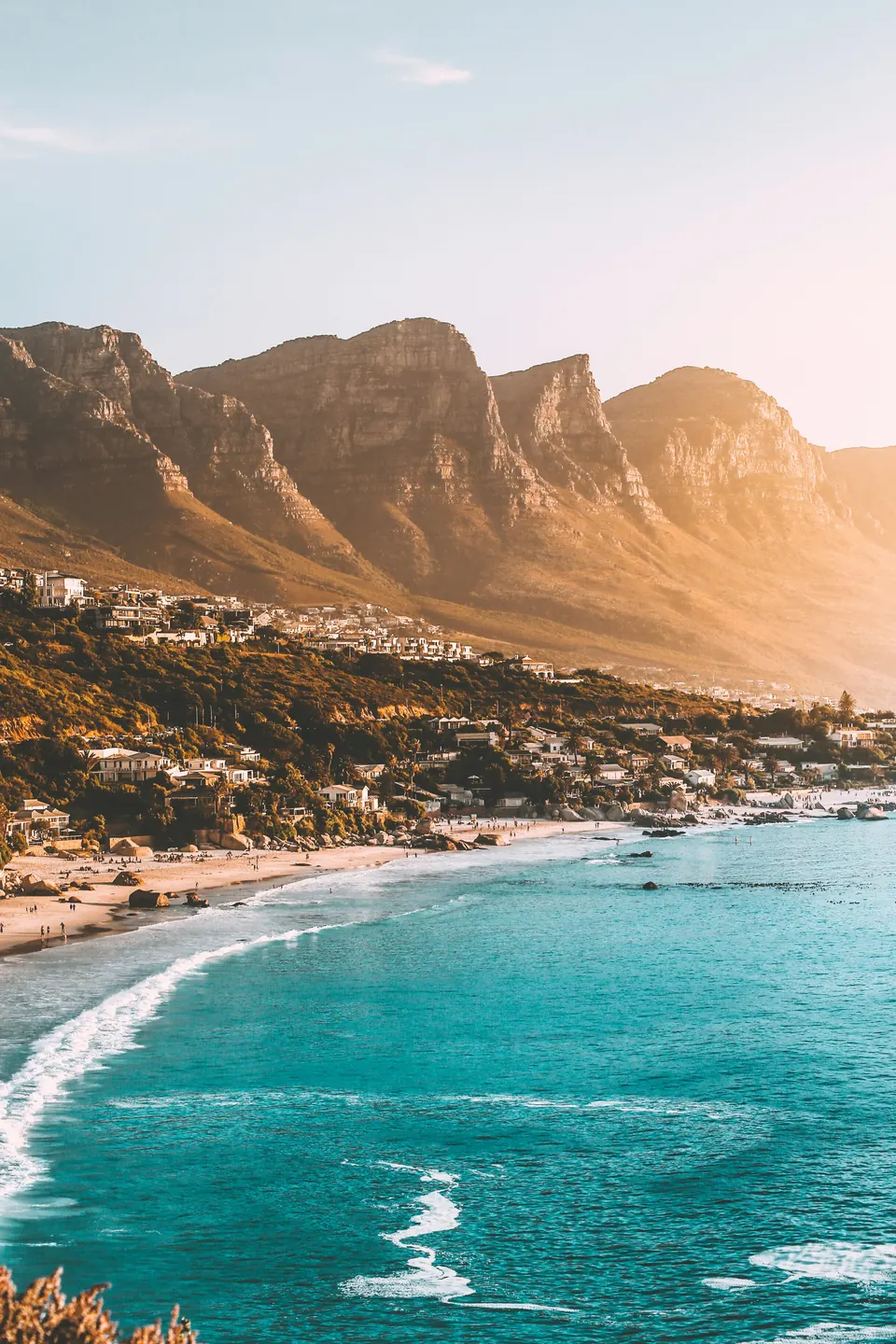 Clifton, Cape Town Photo by kylefromthenorth on Unsplash
-
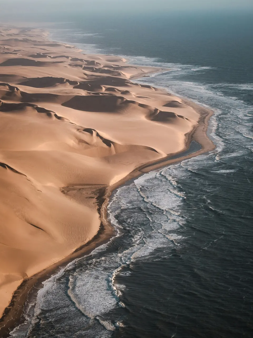 Namib-Naukluft National Park, Namibia Photo by Joshua Kettle on Unsplash
-
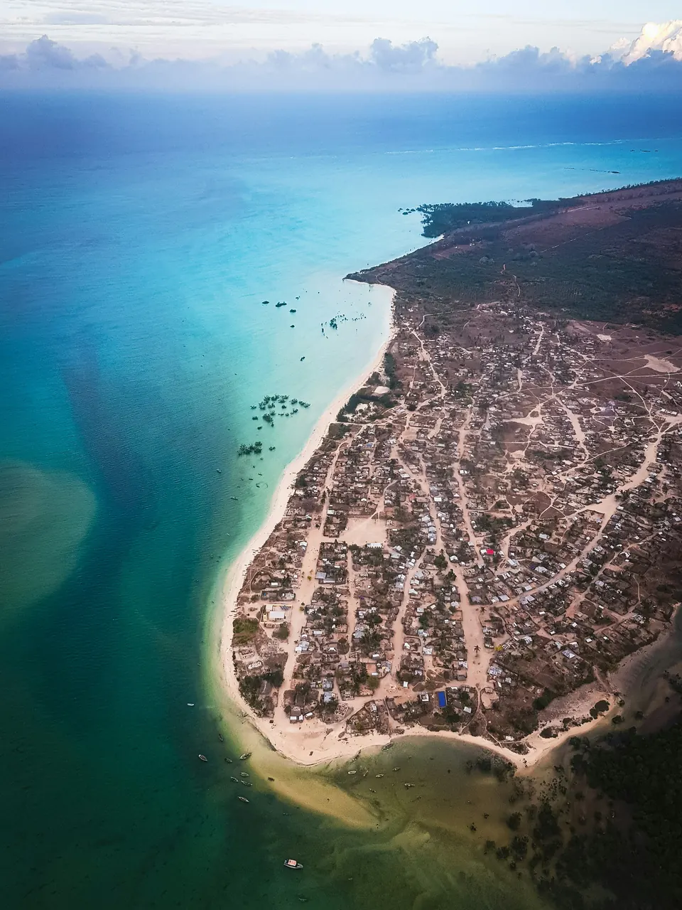
-
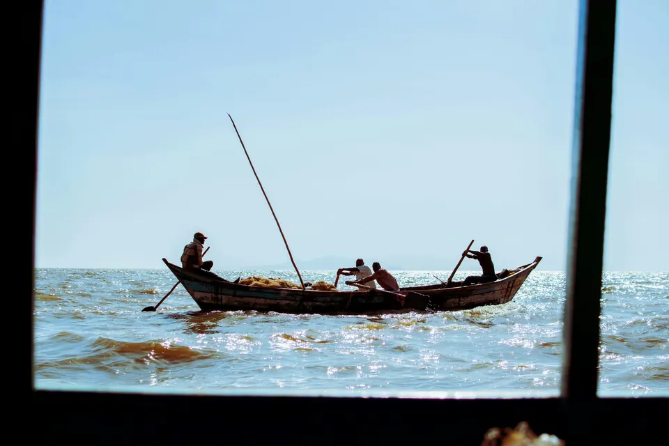 Lake Victoria, Kisumu, Kenya Photo by Nala Okallo on Unsplash
-
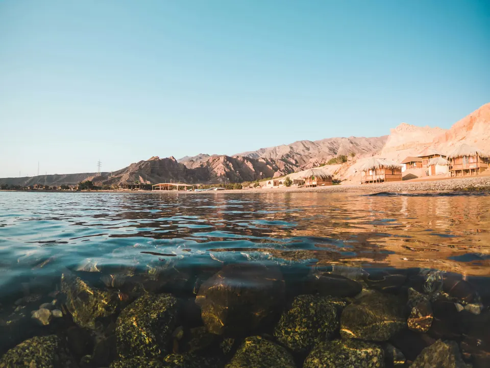 Nuweiba, Sinai, Egypt Photo by Nassim Wahba on Unsplash
-
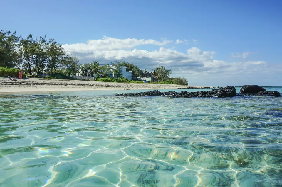 Mauritius Photo by Liga Meijere on Unsplash
-
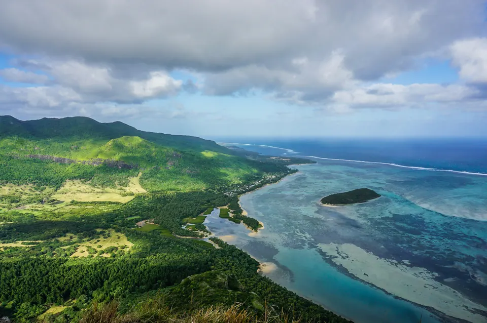 Le Morne, Mauritius Photo by Liga Meijere on Unsplash
-
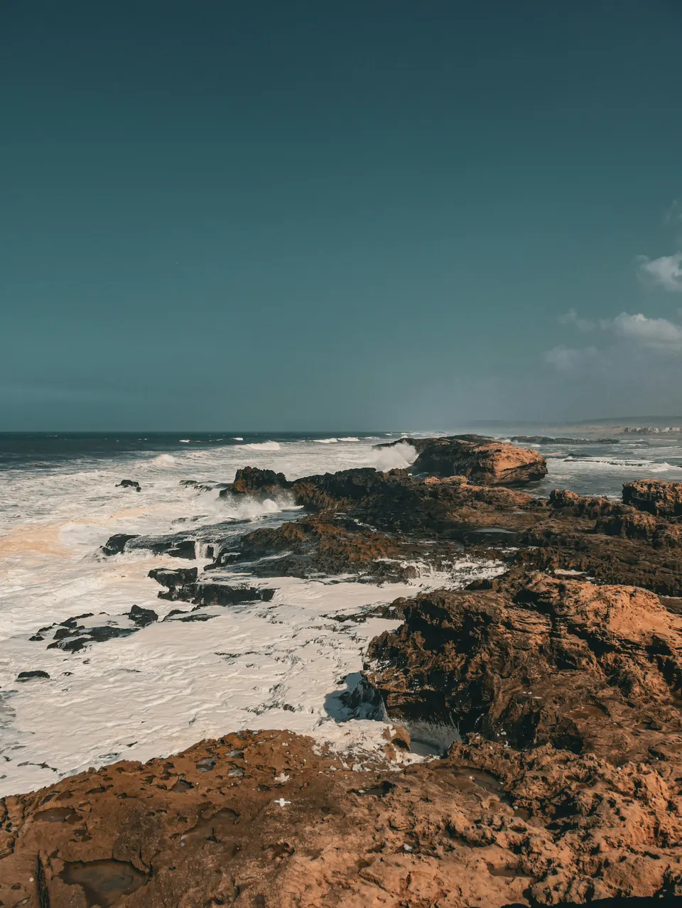 Essaouira, Morocco Photo by Achraf Nekker on Unsplash
-
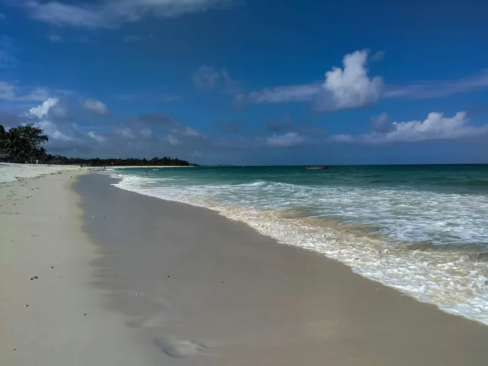 Diani Beach, Kenya Photo by Ezekiel Kilimo on Unsplash
-
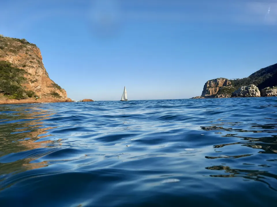 Knysna, South Africa Photo by Gerrie Van Niekerk on Unsplash
-
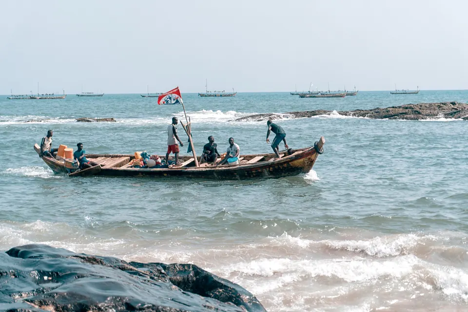 Elmina, Ghana Photo by Seyiram Kweku on Unsplash
-
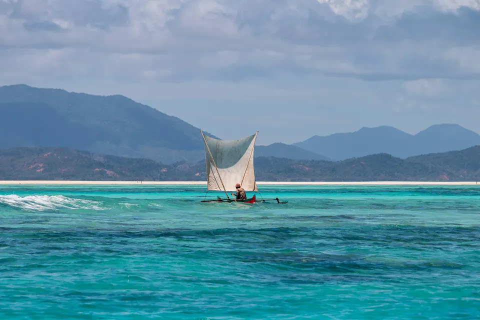 Madagascar Photo by David Bruyndonckx on Unsplash
Map data and software
Map data © OpenStreetMap contributors, available under the Open Database Licence. The interactive map is built with Leaflet, which is open-source software under the BSD 2-Clause licence.
Map markers show the general area of each listed route, not a start, finish or route line.